Tour & Map
Explore the Grounds
Explore the layout of the cemetery through the maps below, along with a developing directory of those buried here.
Over time, names will be connected with stories, creating a fuller record of this place and the lives remembered within it.
Cemetery Map
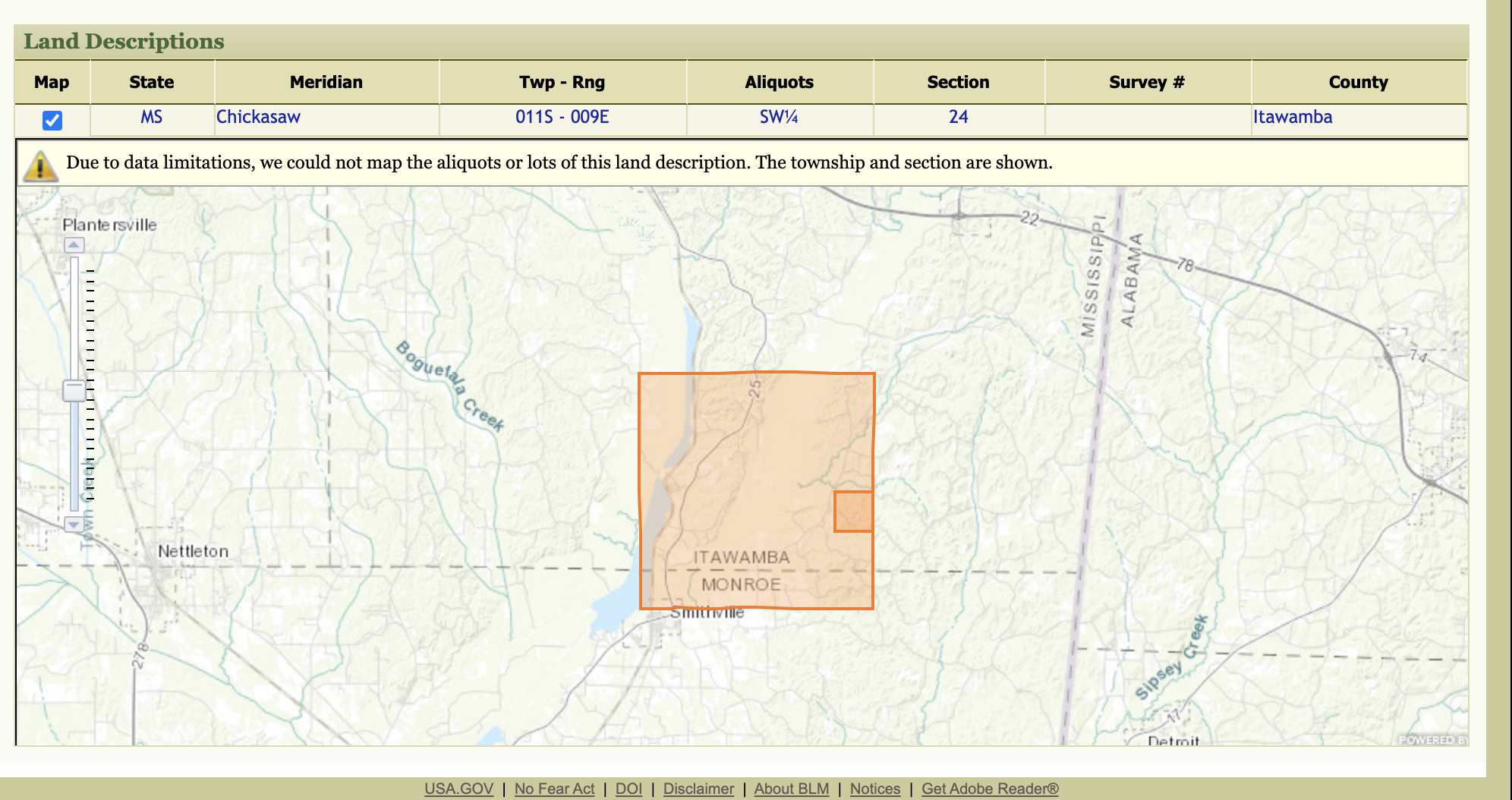
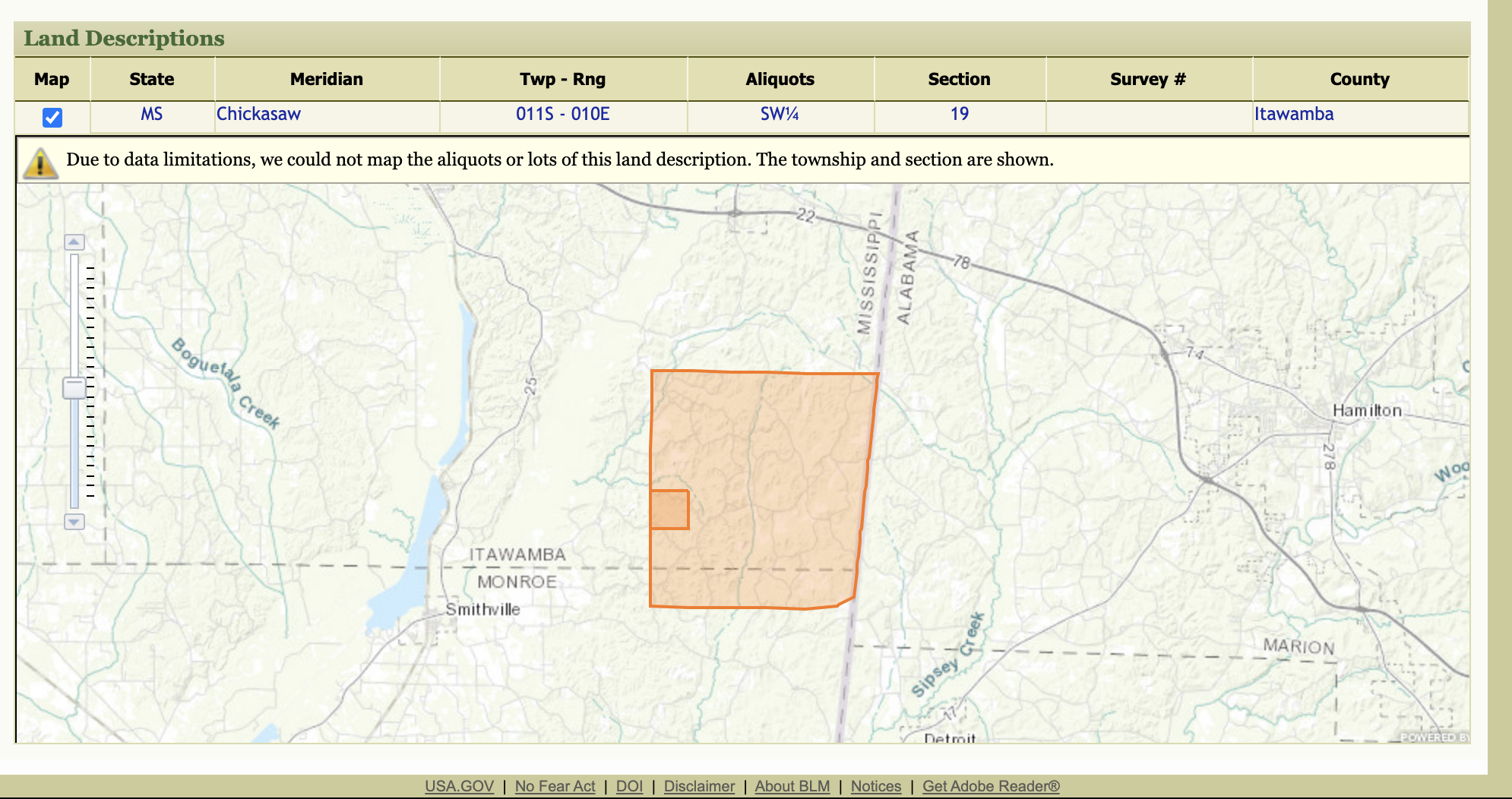
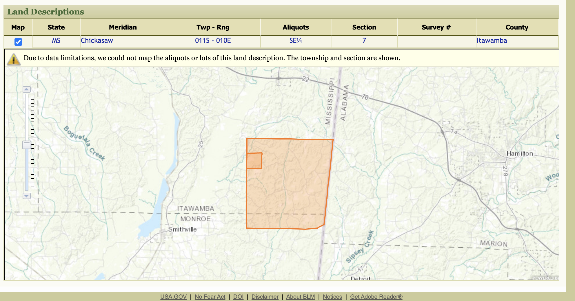
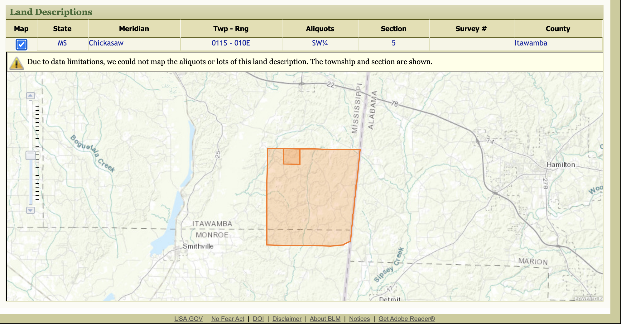
Six hundred and forty acres in total.
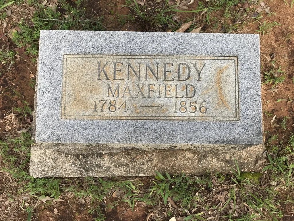
On January 13, 1845, Maxfield Kennedy was issued 4 land patents from the US govt, by US President John Tyler. These maps provide an overview of the grounds.
The little box marks is where the cemetery is.
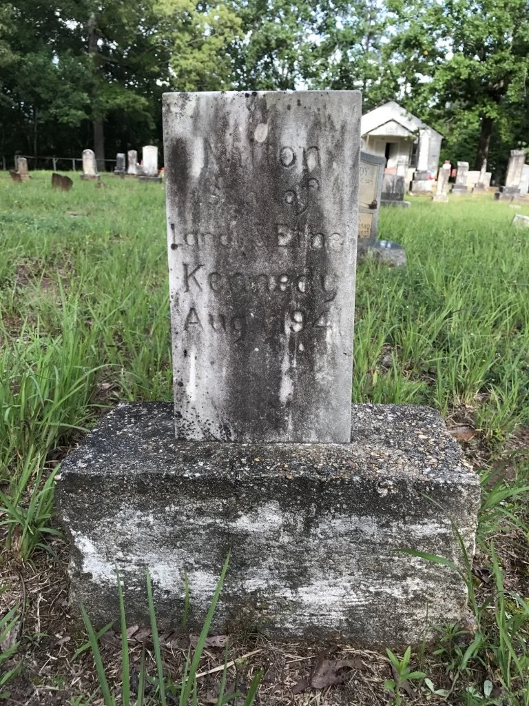
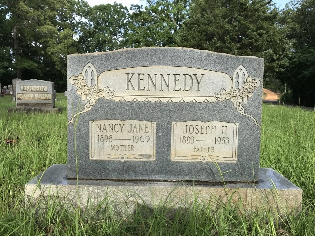
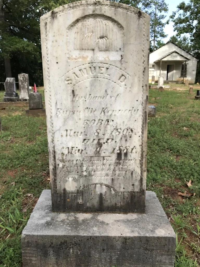
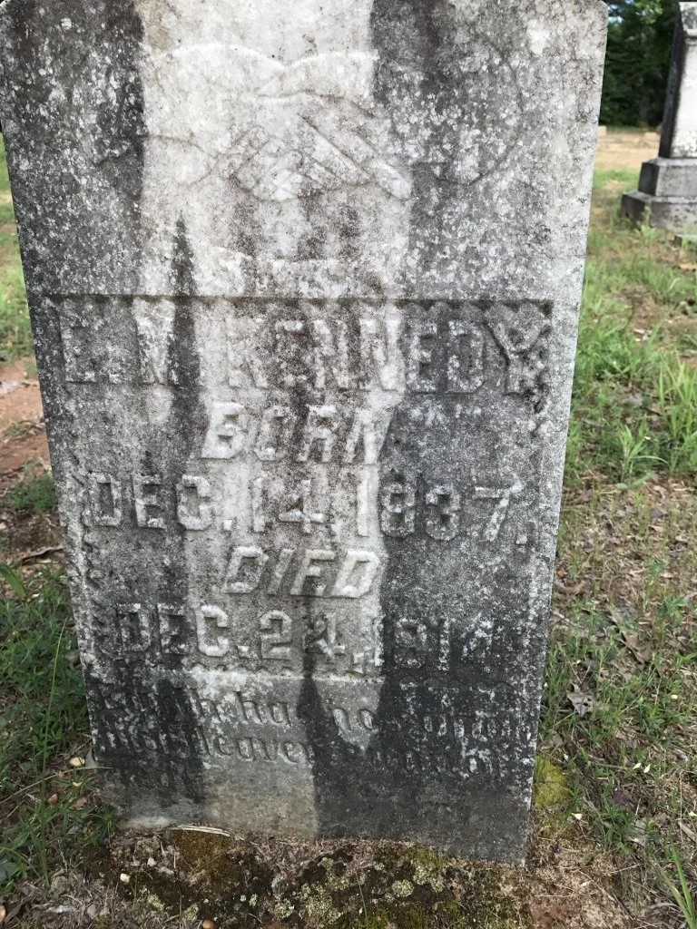
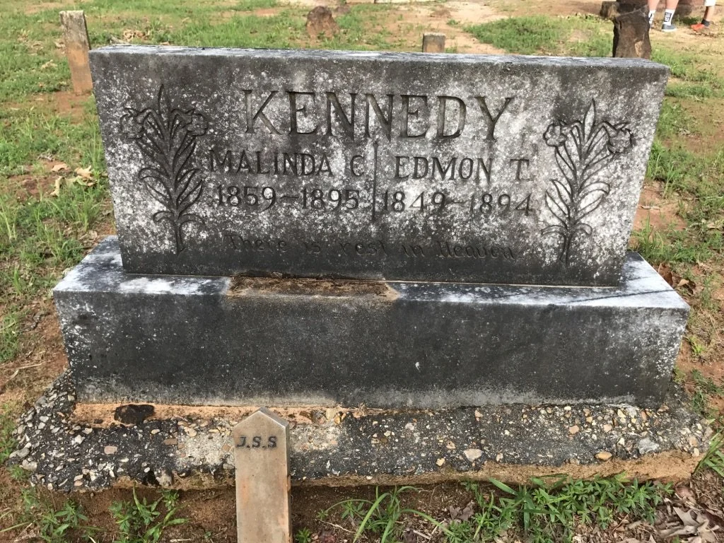
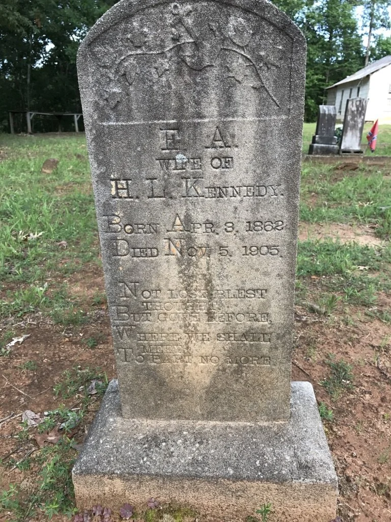
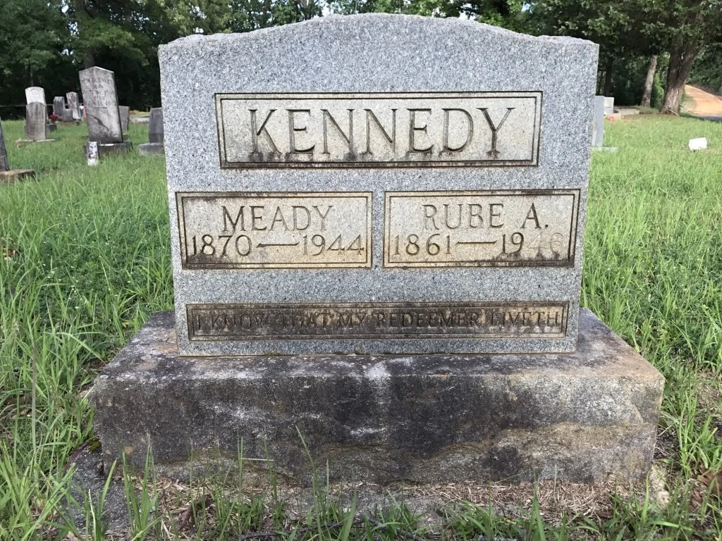
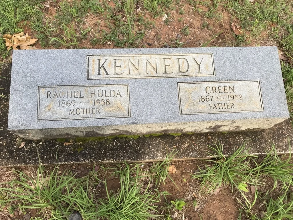
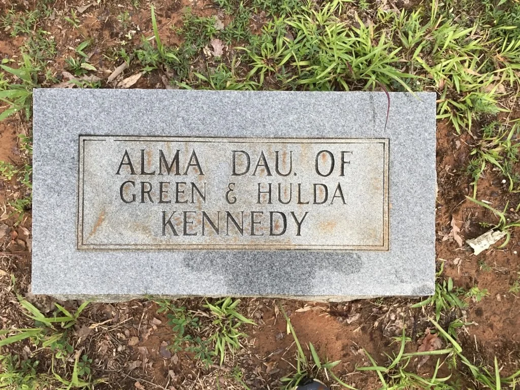
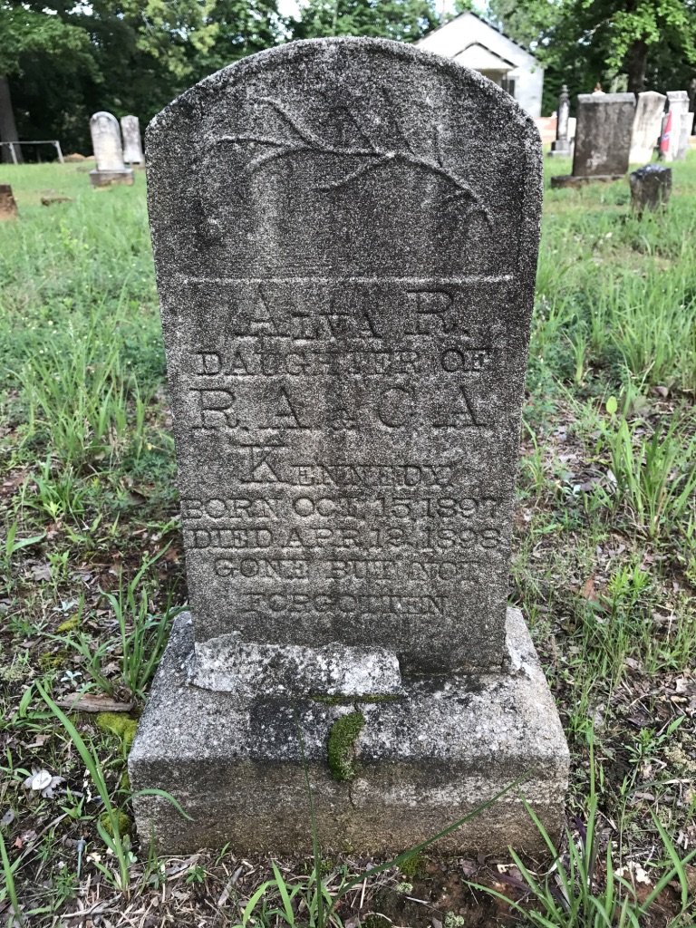
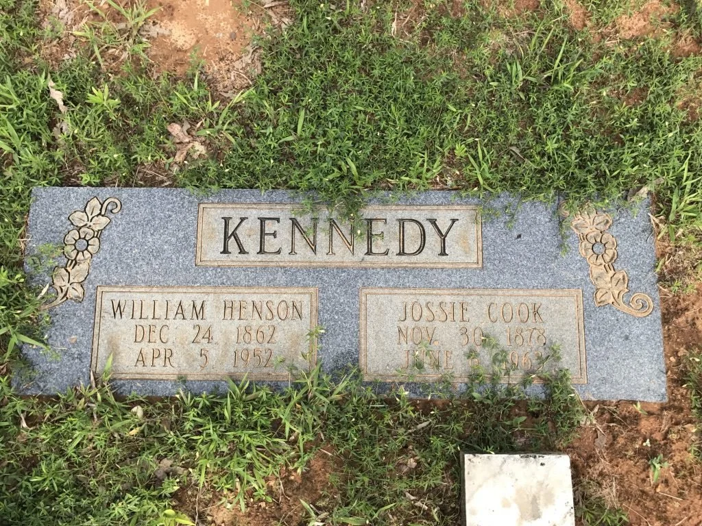
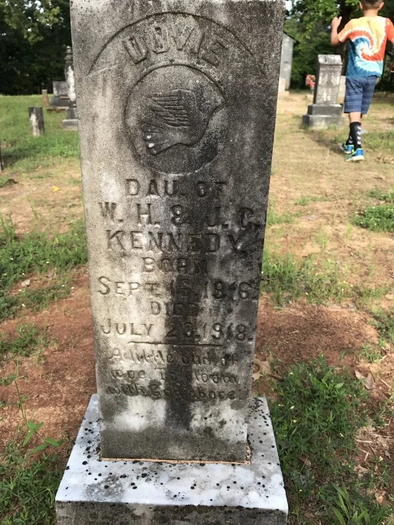
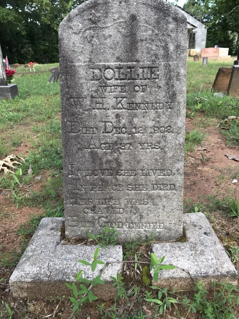
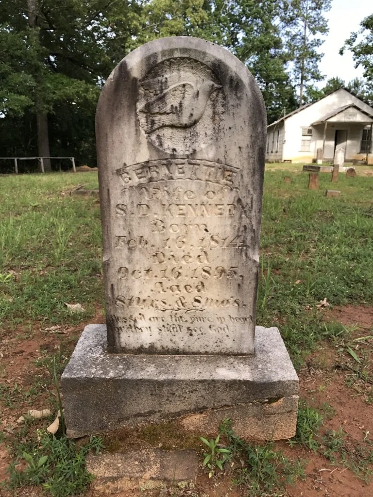
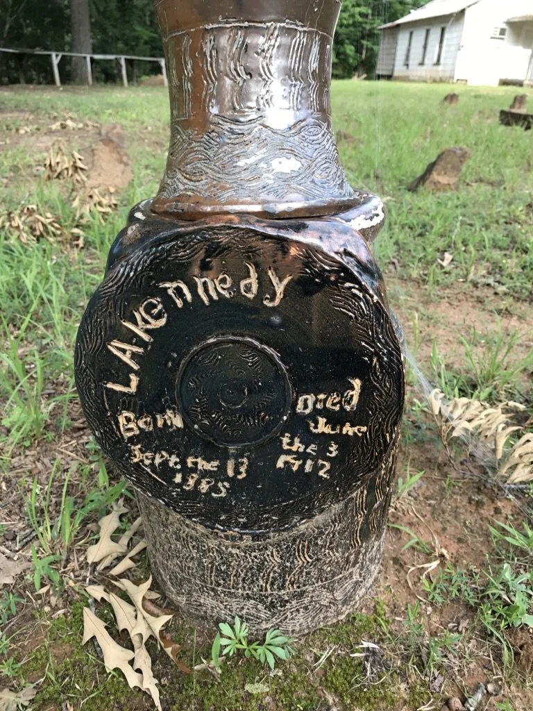
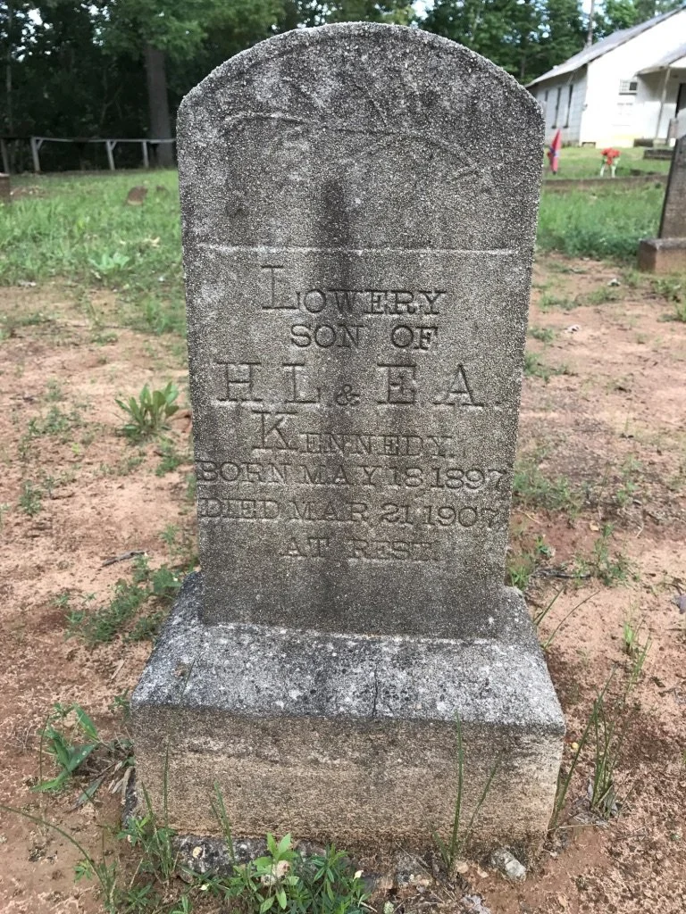
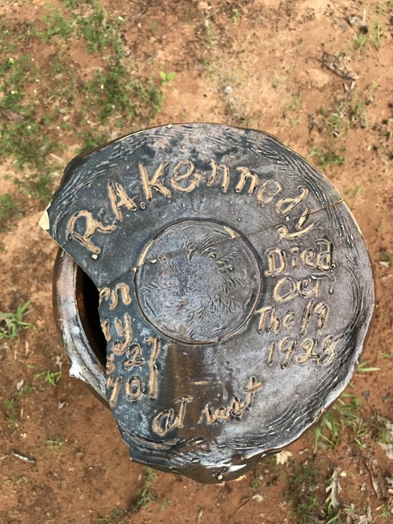
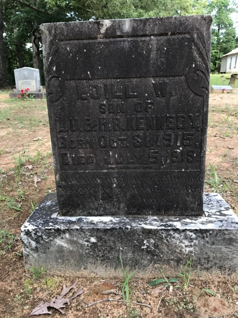
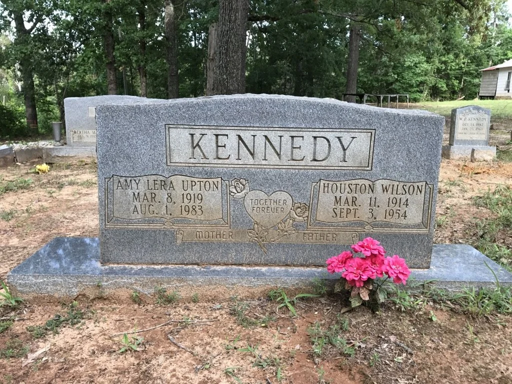
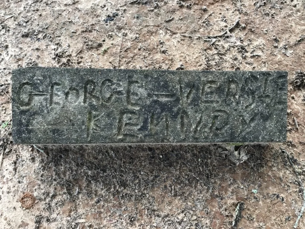
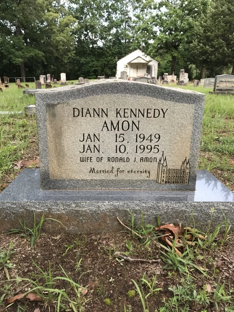
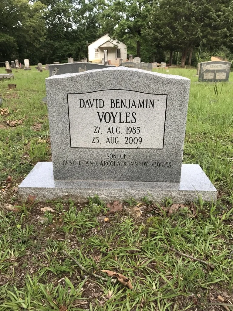
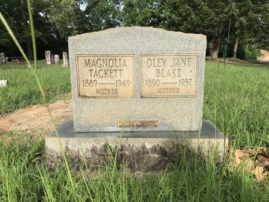
Burial Directory
This is a growing record of those buried at the Kennedy Cemetery.
This work is ongoing. Some records and images are still being gathered, and additions will be made over time.
If you have information, photos, or corrections to share, you are welcome to reach out through the contact page.